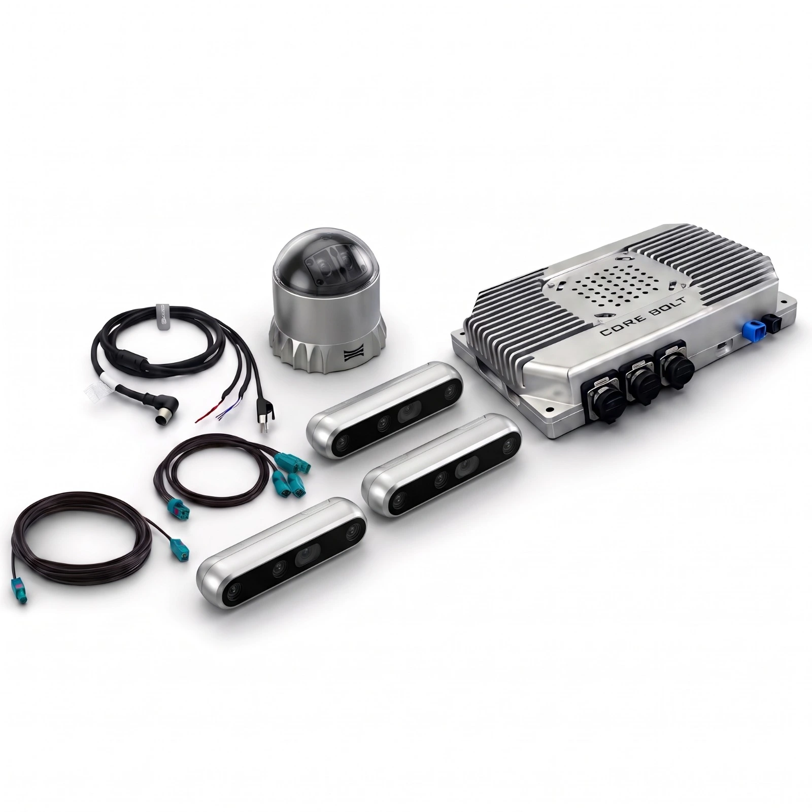
Perception Kits
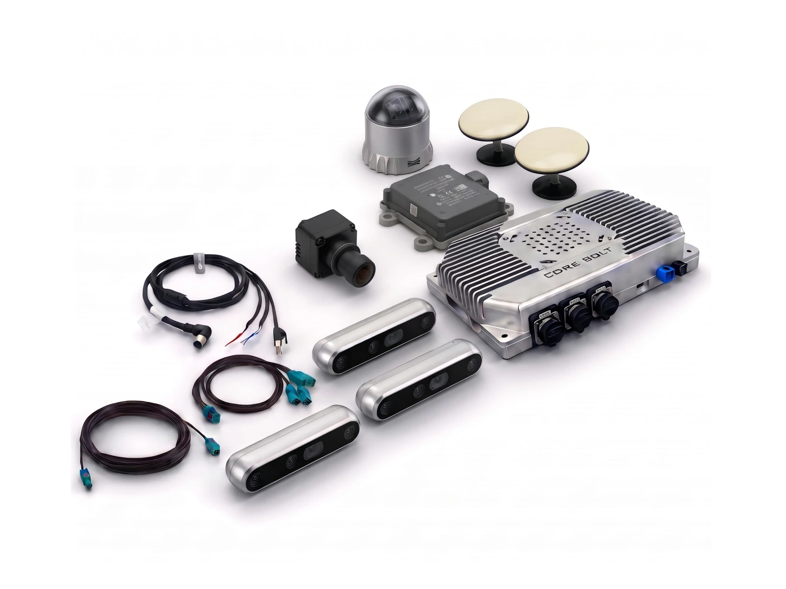
Perception Kits
Overview
Multi-Sensor Perception for Highway Autonomy and Field Robots
Highway and field autonomy perception kits built on the HyperEdge 900DRV, with 3D LiDAR, GMSL2 cameras, 77 GHz radar and RTK GNSS/INS for AV development.
CORE BOLT highway and field autonomy kits combine the HyperEdge 900DRV edge computer with LiDAR and automotive cameras, and on the Advanced kit add radar and RTK GNSS/INS. The 900DRV pairs an NVIDIA Jetson AGX Orin for AI perception with a TI TDA4VM for automotive vision, with up to 8 GMSL2 camera inputs and CAN-FD.
Sensor sets can be matched to the vehicle, operating environment and safety architecture before deployment, giving autonomy teams a validated hardware starting point for perception, sensor fusion and localisation.
Essential vs Advanced: Which Autonomy Kit Do You Need?
Applications
Highway autonomy, autonomous trucking, ADAS development, autonomous shuttles, agricultural and mining field robots, and outdoor autonomous vehicles. Browse all perception kits for other applications.
Frequently Asked Questions
What is an autonomous vehicle perception kit?
It is a pre-integrated set of an automotive-grade edge AI computer and sensors, such as LiDAR, cameras, radar and GNSS, that lets a vehicle detect objects, understand its surroundings and localise itself.
What is the difference between the Essential and Advanced autonomy kits?
Both use the HyperEdge 900DRV. The Essential kit provides LiDAR and camera perception. The Advanced kit adds a Continental ARS 408-21 77 GHz radar and RTK GNSS/INS for full sensor fusion and precise positioning.
Can the kits be used on field robots?
Yes. The 900DRV operates from -40 °C to +85 °C on 9–36 V DC, and suits agricultural, mining and other outdoor robots. The compute is IP5X, so it should be installed in a protected location.
Does the kit include autonomous driving software?
The kits are supplied as integrated hardware. Autonomous driving software is developed or provided by the customer unless stated otherwise. Talk to our team about your project.
Why combine LiDAR, cameras and radar?
Each sensor covers the others' weaknesses: LiDAR gives precise 3D geometry, cameras give colour and classification, and radar measures speed and works in rain, fog and dust.