360° × 90° hemispherical view
One sensor covers the full ring around the robot and the space above it, reducing blind spots close to the platform.
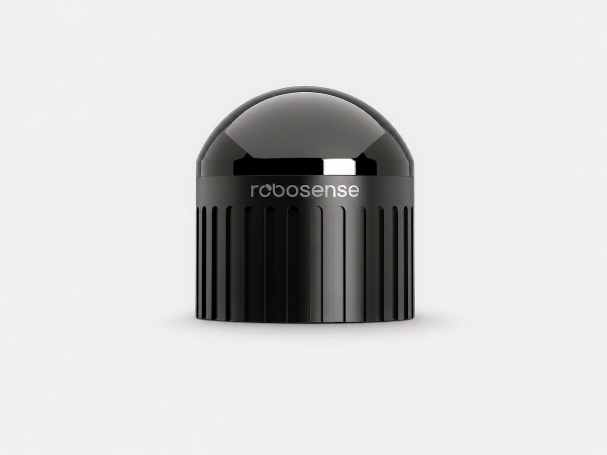
Palm-sized hemispherical 3D LiDAR for robots. A 360° × 90° field of view, 96 beams, 1 cm precision and a built-in IMU in a φ60 × 63 mm body, ready for mapping, navigation and obstacle avoidance.
The RoboSense Airy-96 is a digital hemispherical LiDAR that sees 360° around and 90° up from a body about the size of a ping-pong ball, giving robot designers dense, algorithm-friendly point clouds for obstacle avoidance, mapping and navigation.
One sensor covers the full ring around the robot and the space above it, reducing blind spots close to the platform.
A compact body that fits small robots, robot arms and tight mounting points without a bulky sensor housing.
860,000 points per second with 1 cm @ 1σ precision and an integrated IMU for SLAM and localisation software.

Use hemispherical point-cloud data to support mapping, localisation and close-range obstacle awareness in warehouses.
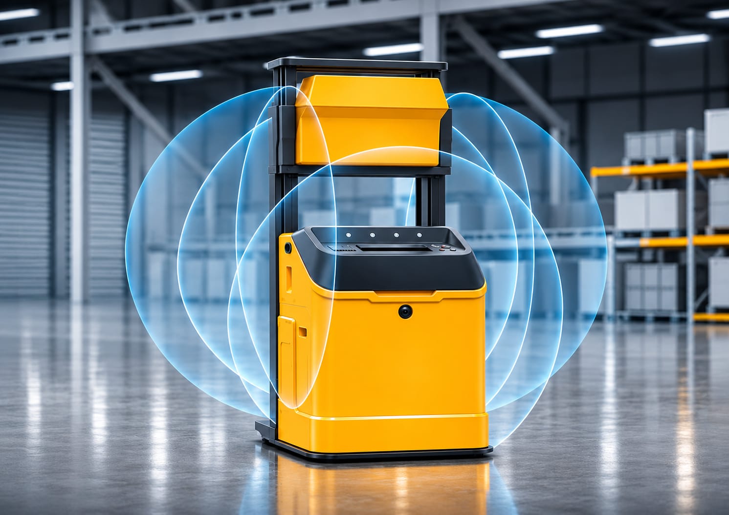
Cover blind spots around forks, masts and loads with a wide 90° vertical field of view.
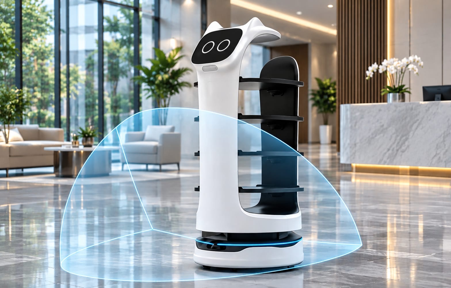
A palm-sized sensor that fits compact service robots while still seeing the full space around them.
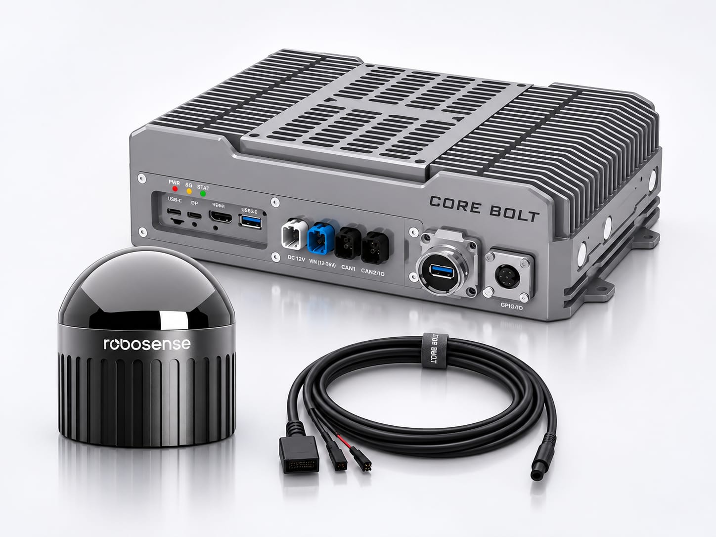
Connect LiDAR and IMU data to compatible edge computing and software for robot perception workflows.
The Airy-96 is a compact 3D LiDAR for robotics. Its point-cloud data can be used by compatible systems for obstacle avoidance, mapping, localisation and navigation on AMRs, AGVs and other robotic platforms.
The Airy-96 covers 360° horizontally and 90° vertically, so a single sensor sees the full ring around the robot and the space above or in front of it, depending on how it is mounted.
The CORE BOLT listing states 30 m at 10% reflectivity. Detection performance depends on target reflectivity, beam position and test conditions. Check the current RoboSense datasheet before final system design.
Yes. RoboSense offers the Airy in versions for horizontal and vertical installation, and the longer-range beams sit in a different part of the field of view in each. Choose the version that matches how the sensor will be mounted on your robot.
Yes. The Airy-96 has an integrated IMU, which compatible SLAM and localisation software can combine with the point cloud.
No. The Airy-96 is a LiDAR sensor that supplies measurement data. SLAM, localisation, path planning, obstacle-avoidance decisions and motion control require compatible software and other system components.
Check the mounting position and version, field-of-view coverage, power supply, data interface, environmental conditions and compatibility with your compute platform and software. Confirm the current interface and installation details in the RoboSense datasheet.
Discuss your AMR, AGV or service-robot application with CORE BOLT and review the RoboSense Airy-96 product details before you order.